Good Morning Alabama!
Very breezy out there today!!!
Weather Day for Saturday: Our threat for severe weather is increasing not decreasing! As of this morning, I have issued a First Alert Weather Day for Saturday. Activation for all weather instruments and equipment.
Timing: As of now appears of 10AM through 8PM. 10AM through 4PM for our western counties. 11AM through 7PM for I-65 corridor and down into Montgomery. 3PM through 8PM for our eastern counties.
Threats: Top threat is damaging winds, our second highest threat will be tornadoes. Some could be long-tracked and strong between EF-2 strength to EF-5. Next would be, flash flooding, hail up 1 inch in diameter, and lightning.
Watches and Advisory's for Our Area: We will likely see a Flash Flood, and Tornado watch issued for most of the area. Also a Wind Advisory will be issued as well.
The Weather Channel has upgraded our TOR:CON risk for Alabama from a 4 yesterday now to a 6. Which is high and you guys need to be ready.
Outlooks: Do not get caught up in Slight, Enhanced, and Moderate risks. Just know ALL of Alabama is likely of seeing severe weather on Saturday. Most of Alabama is under an Enhanced risk (Level 3 out of 5), but again do not get caught in the risk area just know severe weather is likely across the whole state.
Know your location: As I posted the other day know which county you are in and where on the map and your neighboring counties.
Be Ready: Have everything ready to go, if you live in a mobile home; go to a safe place like a shelter or friend house (not a mobile home) as soon as the Tornado Watch is issued for our county. DO NOT wait till the warning is issued!!!!!
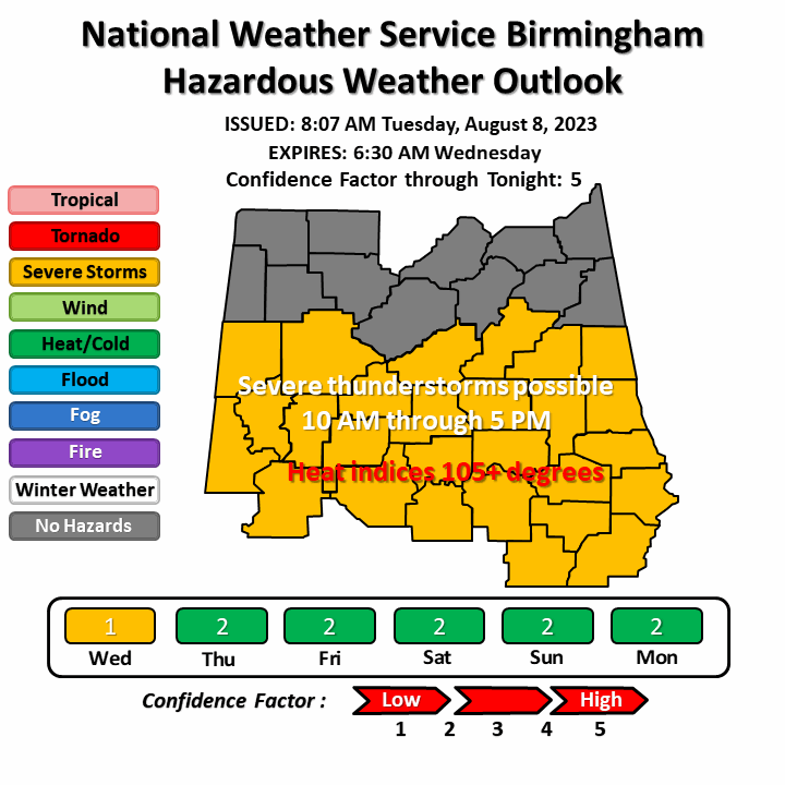
Pictures from NWS BHAM Office, Storm Prediction Center, Weather Channel,and etc. are below.
Look for the next blog post here by 4pm today.


Very breezy out there today!!!
Weather Day for Saturday: Our threat for severe weather is increasing not decreasing! As of this morning, I have issued a First Alert Weather Day for Saturday. Activation for all weather instruments and equipment.
Timing: As of now appears of 10AM through 8PM. 10AM through 4PM for our western counties. 11AM through 7PM for I-65 corridor and down into Montgomery. 3PM through 8PM for our eastern counties.
Threats: Top threat is damaging winds, our second highest threat will be tornadoes. Some could be long-tracked and strong between EF-2 strength to EF-5. Next would be, flash flooding, hail up 1 inch in diameter, and lightning.
Watches and Advisory's for Our Area: We will likely see a Flash Flood, and Tornado watch issued for most of the area. Also a Wind Advisory will be issued as well.
The Weather Channel has upgraded our TOR:CON risk for Alabama from a 4 yesterday now to a 6. Which is high and you guys need to be ready.
Outlooks: Do not get caught up in Slight, Enhanced, and Moderate risks. Just know ALL of Alabama is likely of seeing severe weather on Saturday. Most of Alabama is under an Enhanced risk (Level 3 out of 5), but again do not get caught in the risk area just know severe weather is likely across the whole state.
Know your location: As I posted the other day know which county you are in and where on the map and your neighboring counties.
Be Ready: Have everything ready to go, if you live in a mobile home; go to a safe place like a shelter or friend house (not a mobile home) as soon as the Tornado Watch is issued for our county. DO NOT wait till the warning is issued!!!!!
Pictures from NWS BHAM Office, Storm Prediction Center, Weather Channel,and etc. are below.
Look for the next blog post here by 4pm today.


Comments
Post a Comment